
Home Latest updates Bulletins Registration Entries Time Table Competition Rules Flying Sites Weather Accommodation Travel Arrangement Results Awards Gallery About Typhoon Race |
Flying
Sites
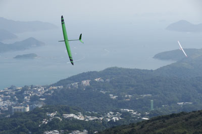
Slopes The main slope of the contest is Ma On Shan "Left slope" for Easterly which is located in the North Eastern part of the Hong Kong territory. The flying site is 340m high with a spectacular view of the charming area of Sai Kung countryside. The slope can be accessed by a 20 minutes hike. Ma On Shan "Left slope" location: map To cater for other wind conditions, backup slopes also include: Lobster Bay "North East slope" for North-Easterly: map Robin's Nest "North slope" for Northerly: map Leung King "Upper slope" for South-Easterly: map Cham Shan (Kin Ma Leng) for South-Westerly: map 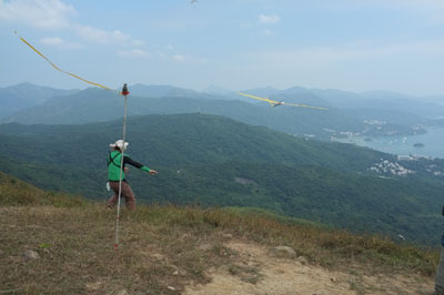 Ma
On Shan
 Ma On Shan  Ma On Shan  Lobster Bay 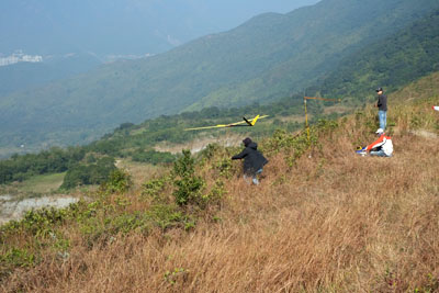 Robin's Nest 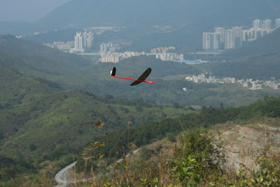 Robin's Nest  Robin's Nest  Leung King  Leung King 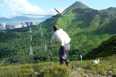 Leung King 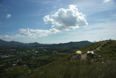 Cham Shan (Kin Ma Leng) 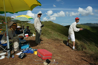 Cham Shan (Kin Ma Leng) 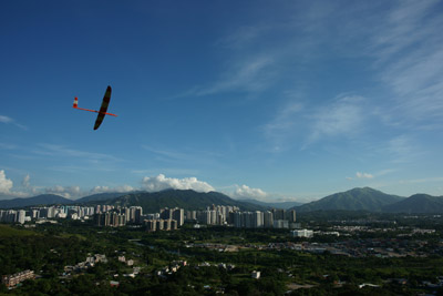 Cham Shan (Kin Ma Leng) |
Sponsors:  Please contact Angus Lee if you want to be one of the sponsors of TR2016. |
| Typhoon
Race 2016, Hong Kong
organized by the Hong Kong Radio Control
Soaring Society (HKRCSS), copyright 2016. Go to HKRCSS home page. |
||